(If you’re late to the party, no worries.
Here’s where you can find the posts on the Southbound leg,
and the Northbound legs Part 1, Part 2, & Part 3.)
We were on the last few legs of our road trip, but this one was where we would say farewell to California and to Highway 1. It had been a wonderful road, filled with beauty, expanse, clear skies, wildlife, ocean vistas, wonderful towns, great cities, and a feeling that we were really, truly, quite far away from our everyday lives and the thousand natural shocks that they are heir to. However, before we could say goodbye to that old road, CA-1 had one last trick up its sleeve.
Online maps will tell you that the drive from Gualala to Crescent City will take you five hours and forty-five minutes.
This. Is. A. Lie.
It is 276 miles from Gualala to Crescent City, taking Highway 1 to Leggett and US-101 from there. In five and three-quarter hours, that’s an average of forty-eight miles per hour.
This. Is. A. Damnable. Lie.
You might be able to do it in seven hours, maybe six and a half if you pee into a bottle and don’t even stop for petrol, but the only way you’re going to make it from Gualala to Crescent City in 5.75 hours is if you’re a rally driver on a perfectly dry day with all traffic blocked off and you have a co-driver in the next seat calling out “Right 5 over crest, then Left 2 Tightens 1. Don’t cut. DON’T CUT!”
As with most things Highway 1, time along this road is fluid, but unlike in other areas, where time flies by as your eyes take in the wonderful conjunction of ocean and shore, here it expands, eating up the hours in tick-tock fashion, making you work for every mile.

The last section of CA-1, an inland cut between Rockport and Leggett, is an especially harrying bit of road. You will have to use every lesson CA-1 has taught you up to this point. It will take concentration on the driver’s part, and fortitude for any passengers you’ve cajoled into traveling with you. For my wife, whose superpower is sleeping in any moving vehicle, that section of road proved to be her Kryptonite. Unhappily awake, breathing through gritted teeth, right hand white-knuckling the Jesus bar, left hand clenched and ready, she battled centripetal force and nausea as we ascended, descended, twisted, banked, sped up, braked, and wondered how long this damned bit of road actually was.
And yet, as was every other mile along CA-1, it was gorgeous.
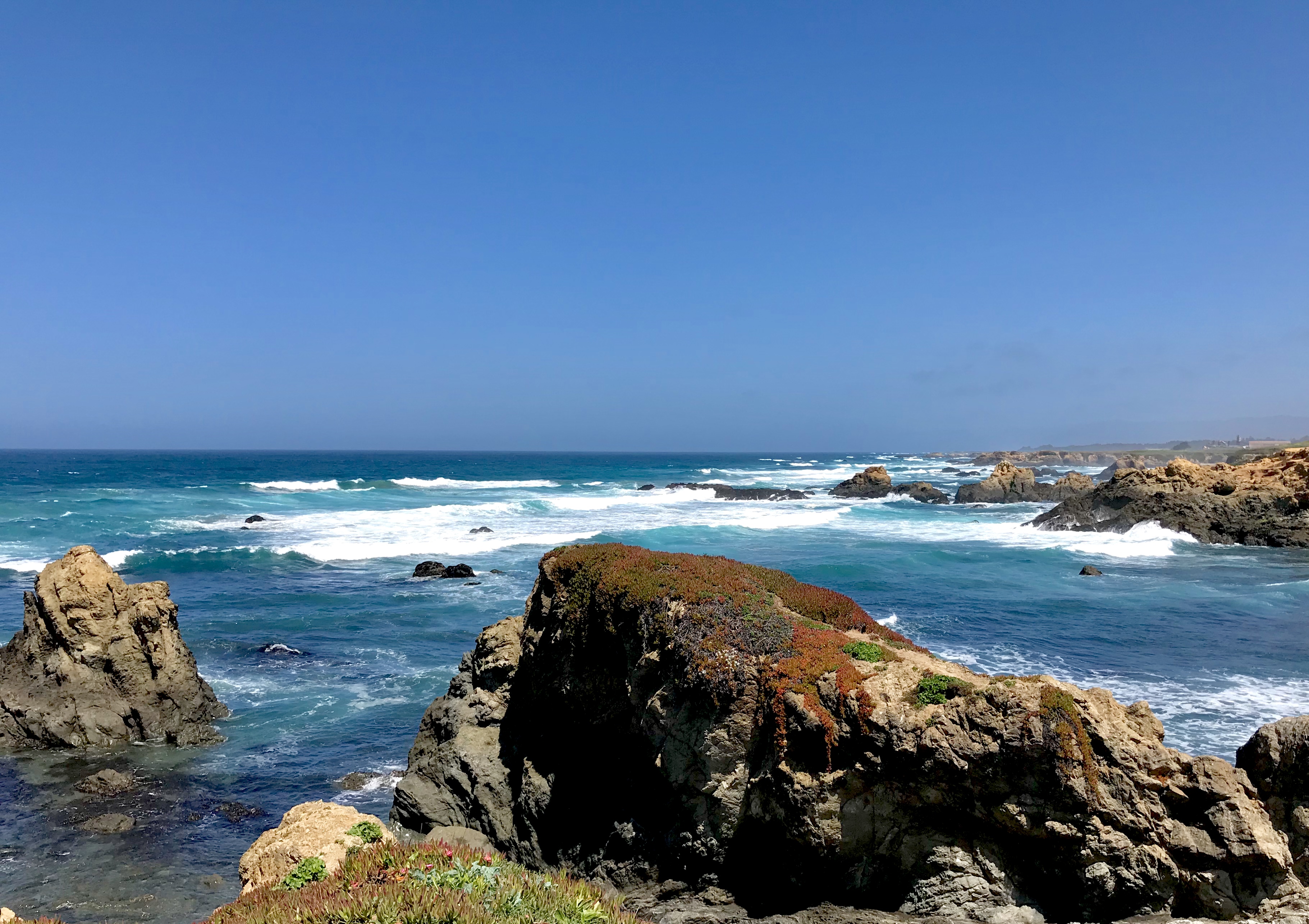
Before we hit that section, though, Highway 1 gave us one last spin along the coast. It took us through Point Arena, with its classic lighthouse and keeper’s domicile out on a cliff-sided outcrop, and then through the town of Elk where—would you believe it?—a herd of elk was grazing in the field just past the community church.
We stopped in Fort Bragg, where there is a famous bit of shoreline called Glass Beach. It is where, from 1949 to 1967, the residents of Fort Bragg dumped their solid scrap: appliances, vehicles, and famously, glass. The metal was carted away, but the glass, broken and shattered, remained, to be washed and polished by the waves of decades. Now, the beach is a curiosity, a mixture of sand, shingle, and myriad bits of glass, all rounded and polished.
If you want to visit Glass Beach, your online map will show you a trail—the Glass Beach Trail—out at the end of Elm Street.
This. Is. Another. Lie.
Technically, there is a “Glass Beach Trail” from the end of Elm Street to the shoreline, but it does not take you to the Glass Beach. It just takes you out to the shoreline somewhere north of Glass Beach.
 While my wife rested in the car, I walked the Glass Beach Trail three times, sure I was missing something crucial. I walked it once, hit the shoreline, saw no Glass Beach, searched for some—any—signage, and finding none, returned to the trailhead. I tried a second time, wandering a bit north of the trail’s end, looking for a clue. Back at the trailhead, I found the “You Are Here” map and checked it. Glass Beach was a dot a tiny bit south of the trail end, with a staircase to descend the cliffside to the shore. I walked it again and wandered south. Still, no signs, no staircase, no Glass Beach. It was a beautiful walk, and a stunning section of coastline, but if you go, know that the actual Glass Beach is a quarter mile south of the end of the quarter-mile long Glass Beach Trail, and there are no signs directing you to your goal. After my third failed attempt, I’d burned too much daylight walking and head-scratching to allow for another mile’s walk, round trip, on sandy bluffs, so I abandoned the effort and we pressed on.
I wish we’d planned more time on this last section of the trip. Even one more day would have made it much more enjoyable, much less “under the gun.” However, I’d been duped by Google’s 5.75 hour drive-time “estimate,” which I took at face value, and we were committed to our itinerary (and our now non-refundable reservations).
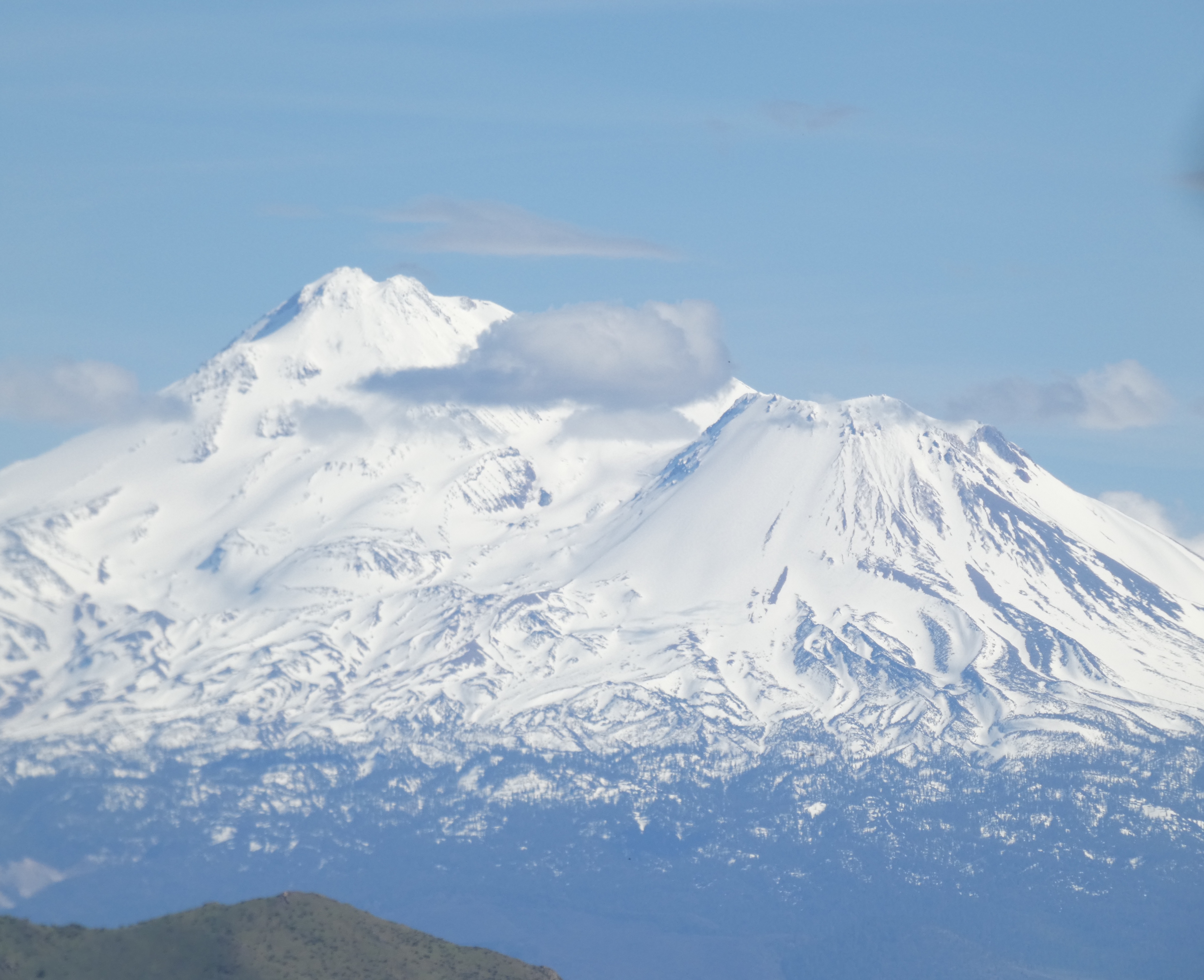
We survived our last battle with CA-1 and connected with US-101 at Leggett. Wider, smoother, straighter, US-101 took us inland along the Eel River, through the majesty of the ancient redwood forests, and past natural wonders like Avenue of the Giants, the Drive-Thru Tree, and Trees of Mystery (actually, worth the visit), as well as more gimmicky roadside attractions selling evidence of Bigfoot and touting encounters with some sort of mysterious “vortex.”
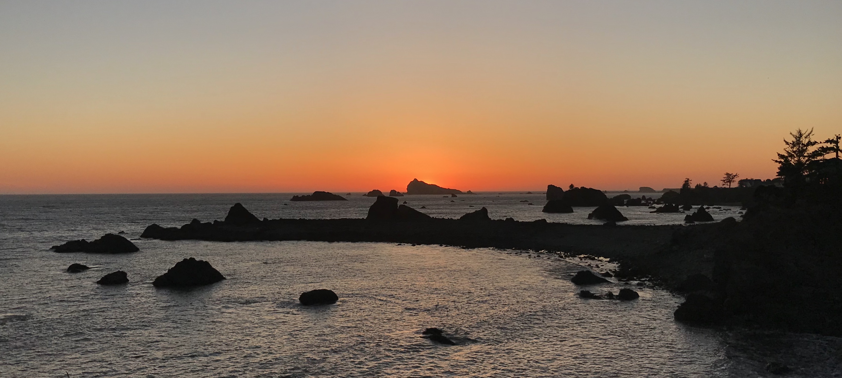 We did make it to Crescent City before the sun set, albeit barely. We had a few more days on the road, but those were more to visit friends than to enjoy the scenery, so this was, in essence, the end of our road trip. From here, we’d go to Lincoln City and Portland before heading home to Seattle.
By the end, we would have traveled over two thousand miles. My online map tells me it is a forty-hour drive.
This. Is. A. Lie.
k


 A right turn at Atascadero led us into a narrow ravine, which became a defile, which dropped down to follow an old creekbed through bends and hairpins, where the knee-high grasses leaned out over the tarmacadam and lichenous oaks waved ghostly scarves of Spanish moss above our heads. Within a mile, the temperature dropped twenty degrees. Within three miles, it had dropped another ten. Lush, green, moist, it was a hidden Eden betwixt Hell and the Pacific Coast. The track debouched without warning or omen onto the Coast Highway, and we had arrived at Morro Bay, a town named for a rock that looked to the Spaniards like a nose (morro, Sp. “nose”).